
Question: What Type of Land Survey Is Most Accurate?
Answer: The most accurate type of land survey is a robotic total station survey, often combined with GPS/GNSS data for control. This utilizes precise instruments and sophisticated data processing techniques to minimize errors.
Land Surveys and Accuracy
Land surveys determine property boundaries and features. Accuracy matters because it affects property rights, construction projects, and legal compliance. Choosing the correct survey type ensures reliable results. Survey accuracy depends on several factors. These factors include the equipment used, the surveyor’s skill, and the terrain’s complexity. Different survey types offer varying levels of precision. Knowing the differences helps you select the best option for your needs.
We will look at several types of surveys and determine which offers the most accuracy. The goal is to provide a clear understanding of each survey’s strengths and weaknesses. This allows you to make an informed decision when hiring a land surveyor. Remember to consult with a licensed Ontario land surveyor to assess your specific requirements. They can advise on the most appropriate and accurate survey for your project. Proper planning and selection of the right survey contribute to a successful outcome.
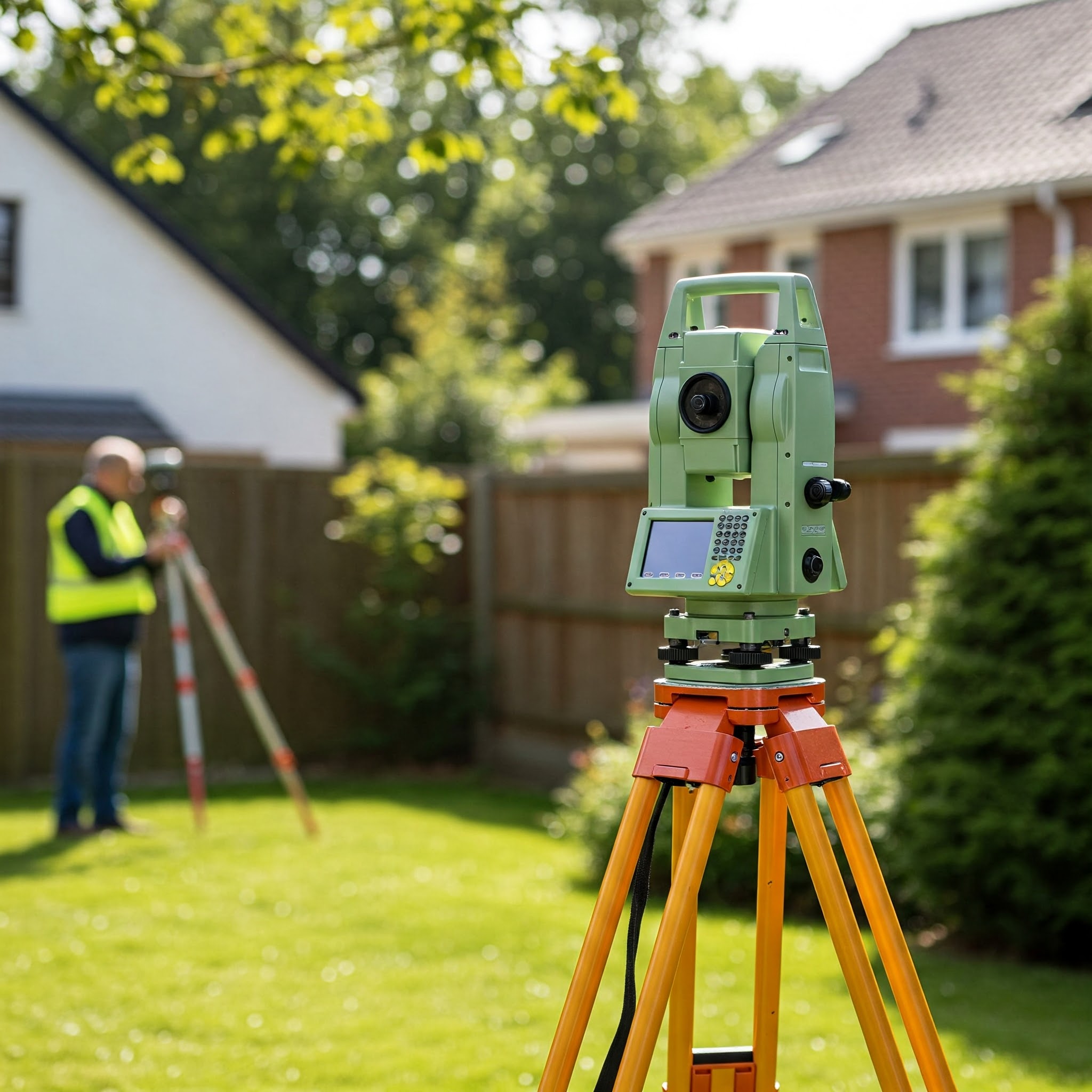
Types of Land Surveys
Several types of land surveys exist. Each type serves a specific purpose and offers a different level of accuracy. Here are some common types:
-
Boundary Surveys
establish or re-establish property lines. Surveyors use deeds, plats, and physical evidence to locate boundaries. They set or replace markers at property corners. Accuracy is critical for resolving boundary disputes. It also ensures compliance with zoning regulations. -
Topographic Surveys
map the natural and man-made features of a property. This includes elevations, contours, and drainage patterns. Engineers and architects use these surveys for site planning. Accuracy is important for designing structures and managing stormwater runoff. -
Construction Layout Surveys
mark the location of proposed structures. This ensures buildings are built according to approved plans. Accuracy is essential for preventing construction errors. It also minimizes costly rework. -
Subdivision Surveys
divide a large parcel of land into smaller lots. These lots are then prepared for sale or development. Surveyors create a plat map showing the new boundaries. Accuracy is vital for creating clear and legally defensible property descriptions. -
As-Built Surveys
document the final location of structures and utilities after construction. This provides an accurate record of what was actually built. This record is used for future maintenance and renovations. Accuracy is important for updating site plans and preventing damage during excavation.
Click the link to read more about Orangeville real estate agents
Related Article: How Do I Find My Property Lines in Ontario?
Related Article: What Is the Most Basic House Survey?
The Role of Technology in Modern Surveying
Technology has transformed land surveying. It has increased accuracy, efficiency, and the types of data surveyors can collect. Modern tools provide detailed information about a property. This information supports better decision-making.
-
GPS (Global Positioning Systems)
uses satellites to determine precise locations on Earth. Surveyors use GPS to establish control points and measure distances. GPS provides high accuracy over large areas. It also reduces the need for line-of-sight measurements. -
Total Stations
combine electronic distance measurement (EDM) with angle measurement. They can measure distances and angles accurately. Total stations are versatile and used for various surveying tasks. This includes boundary surveys and construction layout. -
Laser Scanners
capture millions of data points to create a 3D model of a property. This model provides a detailed representation of the terrain and features. Laser scanning is useful for topographic surveys and as-built surveys. It is also used for creating virtual tours. -
Drones (Unmanned Aerial Vehicles)
equipped with cameras and sensors can capture aerial imagery and data. This data can be used to create orthomosaics and digital elevation models (DEMs). Drones are useful for surveying large or inaccessible areas. They also provide a cost-effective alternative to traditional methods.
Choosing the Right Survey for Your Needs
Selecting the appropriate survey type is essential. Consider the purpose of the survey, the required accuracy, and the property’s characteristics. Consulting with a land surveyor helps you make the right choice. They can assess your needs and recommend the most suitable survey.
-
Consider the Purpose
What do you need the survey for? Are you establishing property boundaries? Planning a construction project? Subdividing land? Each purpose requires a specific type of survey. -
Evaluate the Required Accuracy
How accurate does the survey need to be? Some projects require higher accuracy than others. Construction projects, for example, demand precise measurements. Boundary surveys also need high accuracy to prevent disputes. -
Assess the Property Characteristics
What are the characteristics of the property? Is it flat or hilly? Is it densely vegetated? These factors affect the cost and complexity of the survey. They also influence the choice of surveying methods. -
Consult with a Surveyor
A licensed land surveyor can evaluate your needs. They can recommend the most appropriate survey type. They can also provide a cost estimate and timeline.
Determining the Most Accurate Land Survey
Pinpointing one survey as definitively “the most accurate” is not straightforward. Accuracy depends on project needs and conditions. However, certain techniques and technologies enhance precision. Surveys using advanced equipment and meticulous procedures generally achieve the highest accuracy. Static GPS surveys, for example, provide extremely precise measurements. These surveys involve long observation periods to minimize errors. Laser scanning also offers high accuracy, creating detailed 3D models.
The cost and time associated with these methods are higher. The surveyor’s expertise is also critical. Their skill in using equipment and processing data significantly impacts accuracy. Therefore, the “most accurate” survey is the one that best meets the project’s specific requirements. It should also be conducted by a qualified surveyor using appropriate technology.
Conclusion
Understanding the different types of land surveys is crucial for property owners. Each survey serves a distinct purpose and offers varying levels of accuracy. Factors such as equipment, surveyor skill, and environmental conditions influence the results. While no single survey is always “the most accurate,” certain methods provide higher precision. Static GPS surveys and laser scanning offer excellent accuracy but may not be necessary for all projects.
The key is to assess your specific needs and consult with a licensed Ontario land surveyor. They can recommend the most appropriate survey type and ensure it is conducted to the highest standards. By making an informed decision, you can protect your property rights and ensure the success of your projects. Proper planning and the right survey contribute to accurate and reliable results. Remember, investing in a quality survey can save you time, money, and potential legal disputes in the future.